Finding a safe way through
By Hannah Braly
It’s early morning in Bunia, Democratic Republic of the Congo (DRC), and as usual the clouds have rolled in. They’re low and don’t have wide enough gaps to fly through, raising a familiar concern for pilots serving here: can we fly now, and should we?
THE CLOUDS COME ROLLING IN
Bunia is home to MAF’s flight program in eastern DRC. It’s located in a bowl surrounded by mountains, dense jungle, and a nearby lake. Moist air from the surrounding terrain forms thick clouds that can linger for hours.
“You can wake up any day and not know if you’ll get out,” explains Dave Petersen, an MAF pilot/mechanic.
“The only way to get out when the weather is poor is to sneak under the clouds and between a few mountain ridges—something we train for regularly. But it’s still a higher risk.”
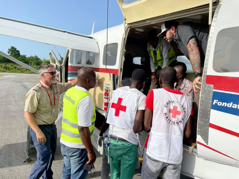
MAF’s passengers in eastern DRC are often patients needing medical evacuations, missionaries traveling to the international airport in Uganda, or humanitarian workers serving isolated communities.
Poor weather typically delays flights for a few hours until it clears up. These delays can impact MAF’s passengers.
“Almost all of these people have plans,” says Dave. “Our partners might have arranged a motorcycle to meet them on the airstrip. That person could be waiting all day, and often there’s no way to get ahold of them and explain the delay.”
It’s more than an inconvenience, though.
“MAF continues to be the only safe way in and out of eastern DRC,” Dave adds. “Being the only option for a medical emergency or security evacuation, it can be stressful wondering if the weather will cooperate when you’re already dealing with a crisis.”
A SAFER FLIGHT FORWARD
When Dave joined the MAF East DRC program in 2015, he quickly saw the need for an Instrument Flight Rules (IFR) system.
IFR flying is based on regulations that allow pilots to fly safely when they can’t rely on visual cues due to poor visibility. Using onboard tools and established routes, IFR enables pilots to fly even in challenging weather conditions.
In 2022, Dave began mapping each route and the corresponding altitudes MAF flies in the DRC, Uganda, and surrounding countries. It took two years, as the area to be mapped was equivalent to two-thirds of the United States. Finally, in 2024, after a thorough review and approval process at MAF headquarters, they were ready to roll out the DRC IFR system and begin training pilots.
FLYING IFR AT MAF
All MAF pilots are trained to fly under IFR. Each receives an instrument rating from the FAA before joining the ministry. The challenge in countries like the DRC, however, is that much of the airspace is uncontrolled.
“If you fly under IFR in the United States, you request a route and an air traffic controller manages the entire process,” explains MAF pilot John Loker. “In eastern DRC, we’re only in controlled airspace for the first few minutes of our flight from Bunia. After that, we become our own controllers.”
After each pilot completed 30 hours of flying under IFR and receiving MAF-specific training, the IFR system was ready to launch in February of 2025.
CLEAR FLYING AHEAD
“We use IFR all of the time now,” says John. “It has given us a ton of flexibility to be able to get out of the bad weather in Bunia and into areas we know will be clear.”
The new IFR system has done more than increase safety. It has reduced pilot stress, increased efficiency, and given MAF more confidence when arranging flights for partners.
“As a pilot, there are three things you don’t want to push at the same time: fuel reserve, weather, and sunset,” says Dave. “The IFR system touches on all three. You use less fuel taking more direct routes, you can fly through weather safely, and you’re often done earlier in the day.”
Today, all MAF’s programs except Lesotho and Mozambique have implemented IFR systems. But planning is already underway to begin the process in Mozambique, and the team is looking forward to the benefits IFR will bring. The prediction: clear flying ahead!